Google Earth is an interactive geographic tool from which it is possible to explore and navigate the entire planet through a 3D image of the Earth. Developed by Google, this innovative platform combines satellite images and geospatial data to visualize the world and travel through it without leaving home.
Available for both computers and mobile devices, as well as an enhanced version exclusively for PC, this interactive experience allows you to virtually fly and observe the planet like you never imagined. Would you like to know a little more about Google Earth?
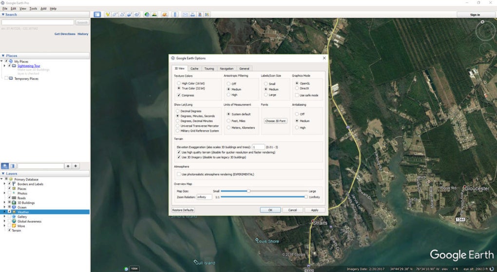
Both Google Earth and Google Earth Pro offer very similar services, although there are some differences between the two platforms. The main difference is found in their platforms, as Google Earth can be used on both computers and through its mobile application. Its Pro version is only accessible from a PC and includes extra options such as the ability to create HD videos of a trip, make 3D measurements of all kinds of structures, as well as print higher-resolution images (4800 pixels compared to Google Earth's 1000).
Google Earth is a versatile and very powerful tool, especially useful in the educational and tourism sectors. Essentially, the main function of Google Earth is to explore the planet through high-resolution and 3D images, turning your PC or mobile device into a true window to the outside world.
Among the main functions of Google Earth, we find Voyager. This allows you to create interactive tours and virtual trips specially designed for teaching. Other functions like Timelapse are of incalculable value to see changes in landscapes, buildings, and monuments over time. In addition to this, thanks to Google Earth, it is possible to take a look and explore possible tourist destinations, making it an ideal application for organizing a trip and making it much more productive.
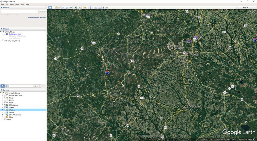
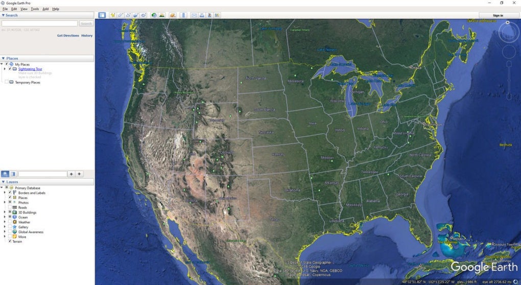
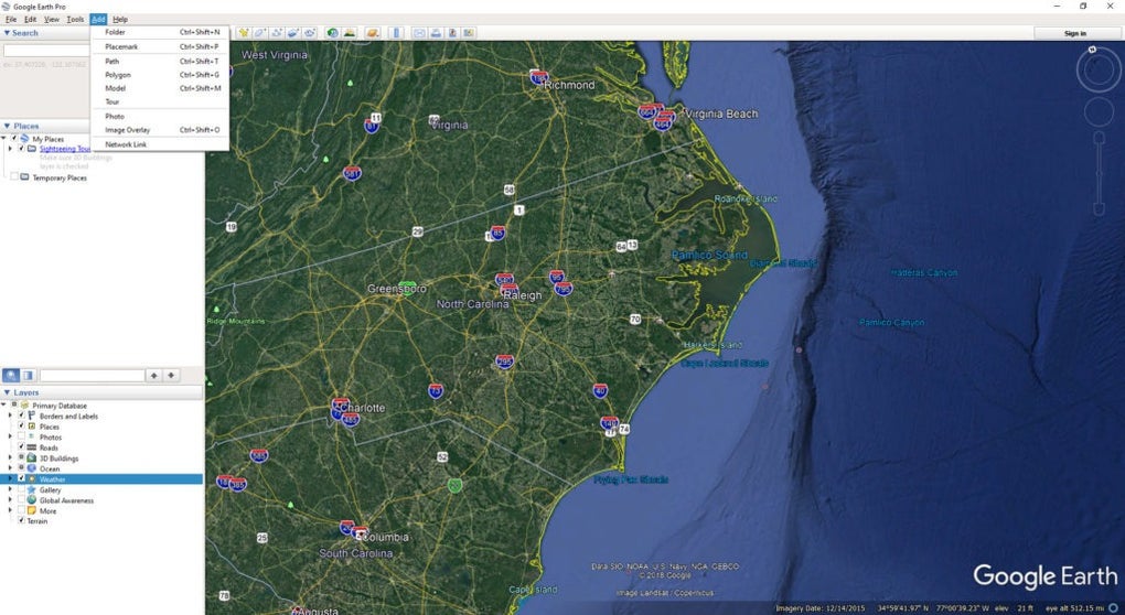
Navigating with Google Earth is a surprising and intuitive experience. As is usual with all Google products, using this interactive map platform is very simple. Simply enter a place, address, landmark, or coordinates in its search box and press enter. Then use the mouse or swipe your finger on the touch screen to move and explore each of its environments in detail. It is, therefore, an incredibly useful tool for planning any trip or investigating any place out of your reach.
Real estate and sustainability professionals can now rely on Google Earth for generative design, thanks to the integration of Delve. Leveraging the familiar user interface, designers can define project sites, select from yield optimization, best-use analysis, or solar feasibility studies, and receive a range of design options. These options include building type, height, return on investments, and more, allowing for data-driven exploration of a project's environmental and financial impact.
Google Earth is a convenient and versatile tool for all curious minds who want to know a little more about our world. With it, you can travel all over the planet thanks to its satellite images and explore any corner of the world from the comfort of your home. Whether it's to satisfy your curiosity or to learn more about the planet, Google Earth will surprise you.
Version
7.3.6
License
Free
Platform
Windows
OS
Windows 8
Language
English
Downloads
12
Developer