The Field Topography UTM app is a simple, practical topographical surveying tool. Its main goal is to make the process of topographical mapping easy and practical.
The app is useful for both mapmakers and geologists. It provides them with a set of tools to measure, calculate and draw objects on the map. This app also has a built-in database of hundreds of geodetic objects that can be used for a variety of purposes.
This app is an indispensable tool for topographical mapping, especially if you are working in the field. It will help you to make accurate measurements and will help you to keep track of your progress.
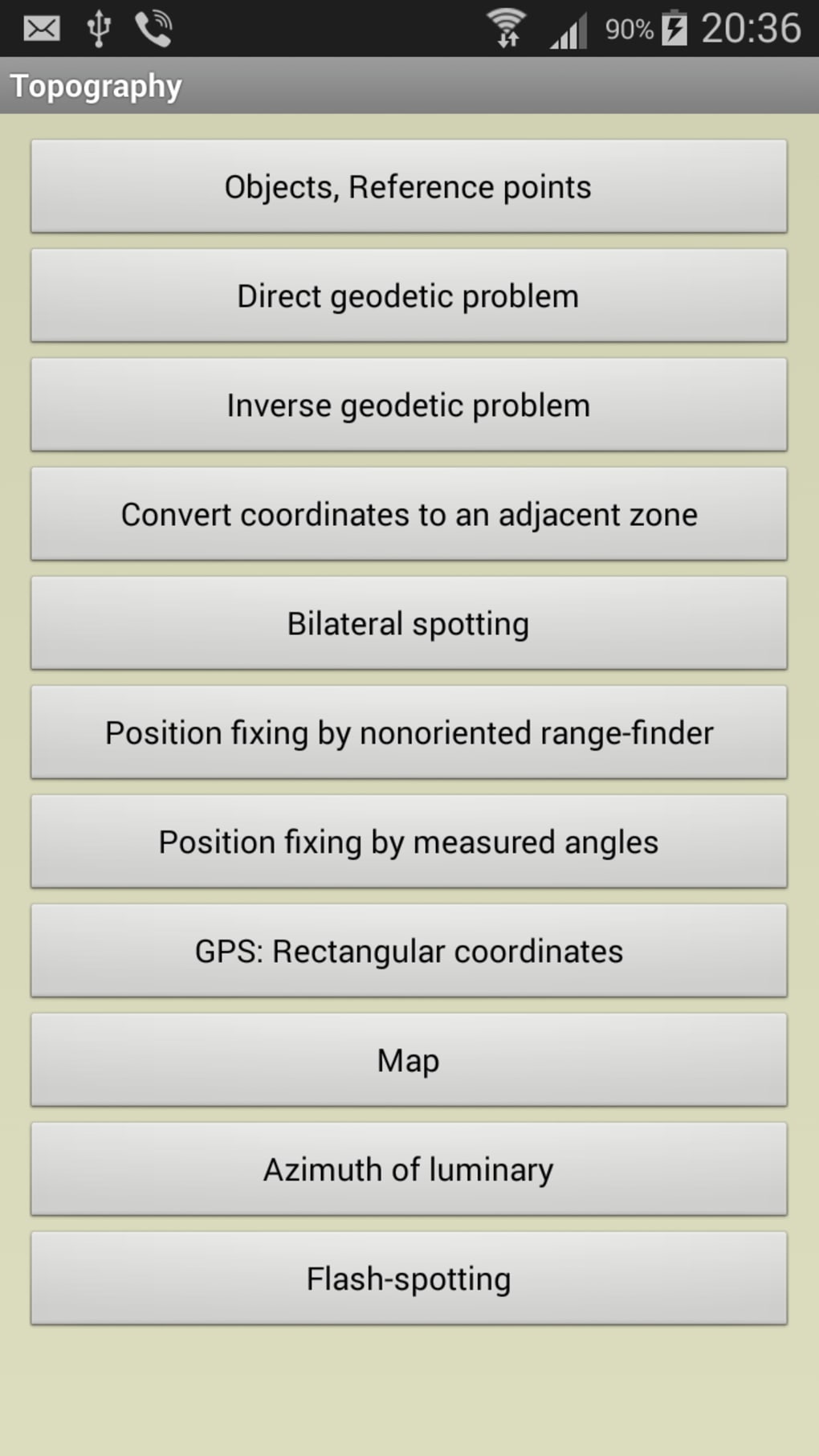
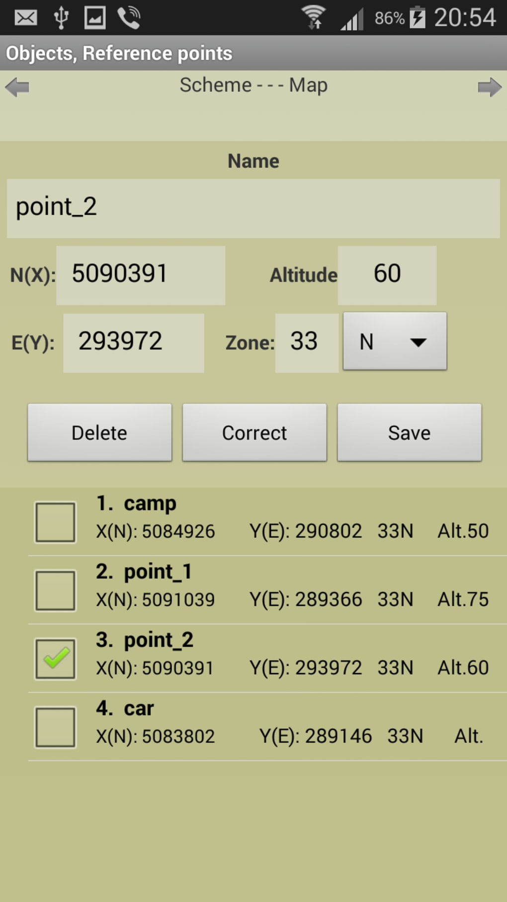
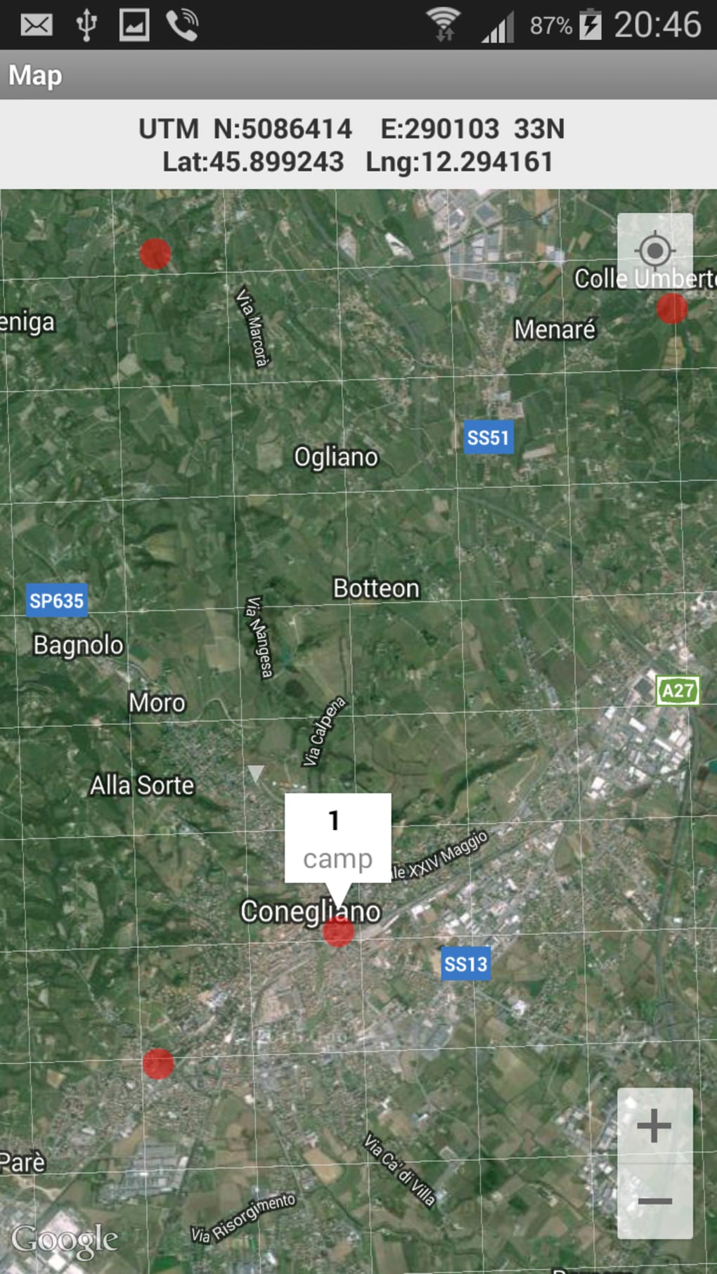
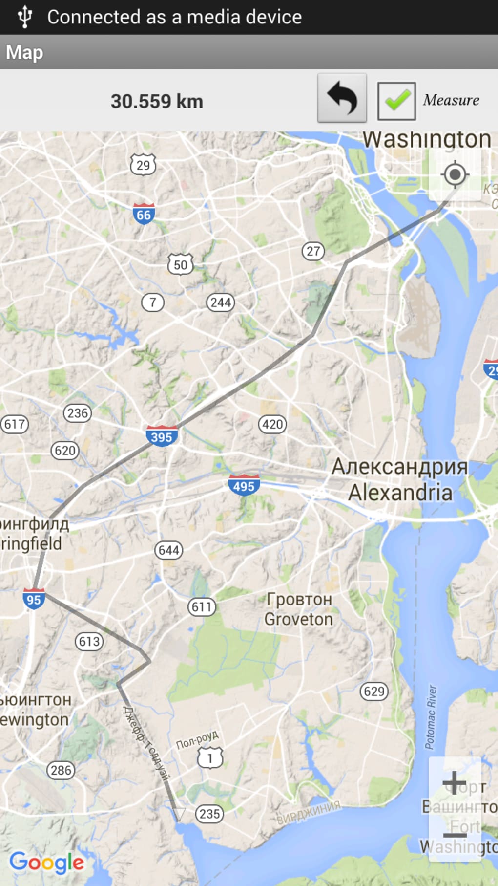
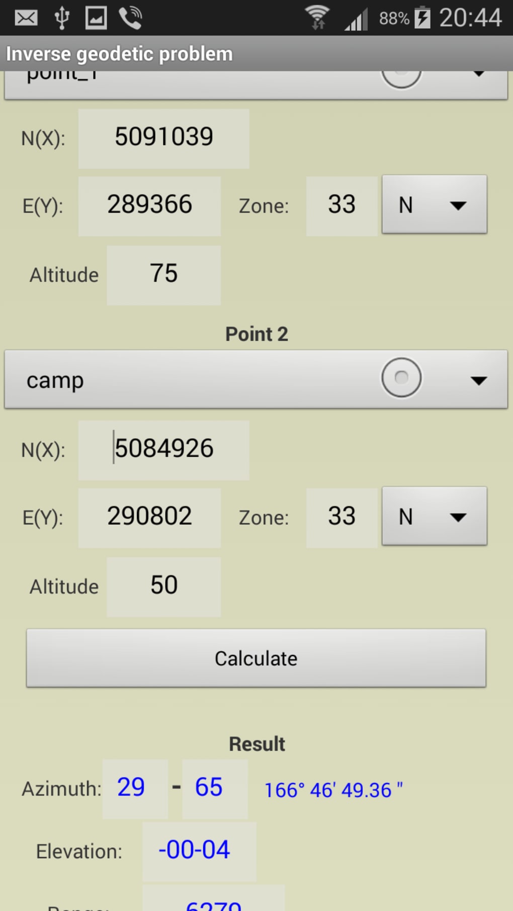
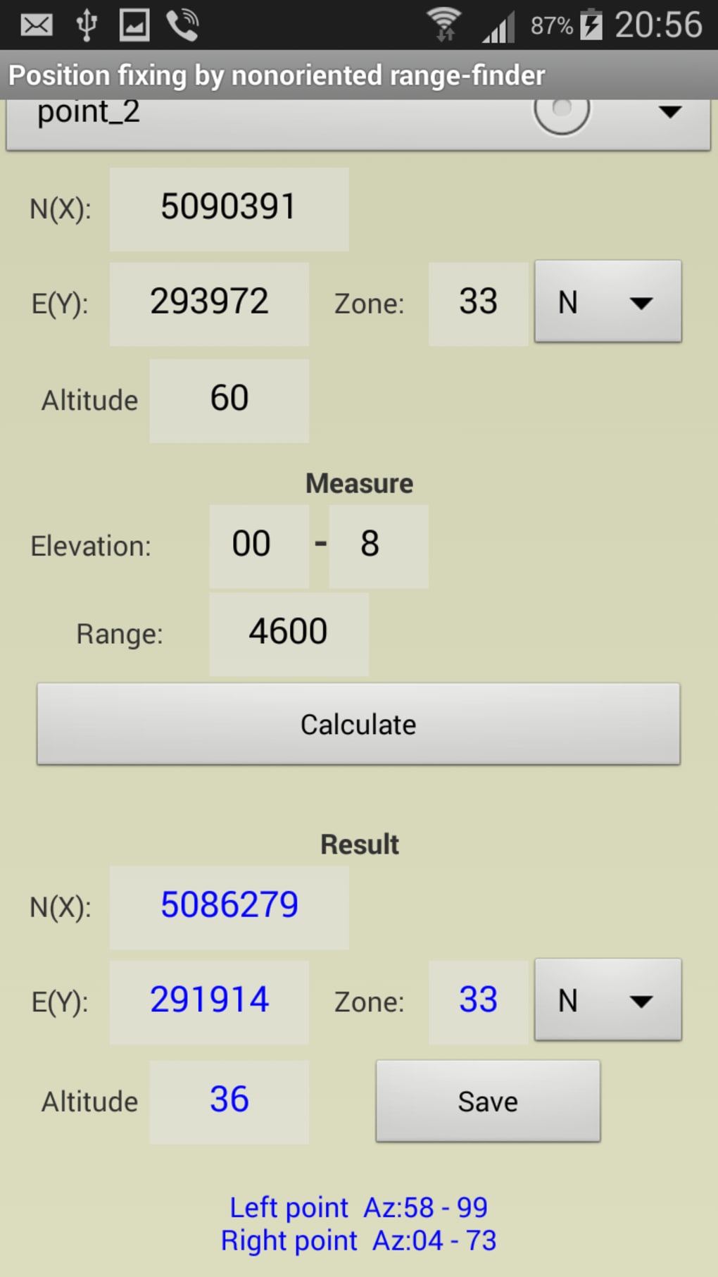
The Field Topography UTM app provides you with a list of all measured points. It allows you to change and edit them as you wish. You can add points, measure distances and areas. The app allows you to edit existing points, add new points, and delete points. It also allows you to change the area and distance units.
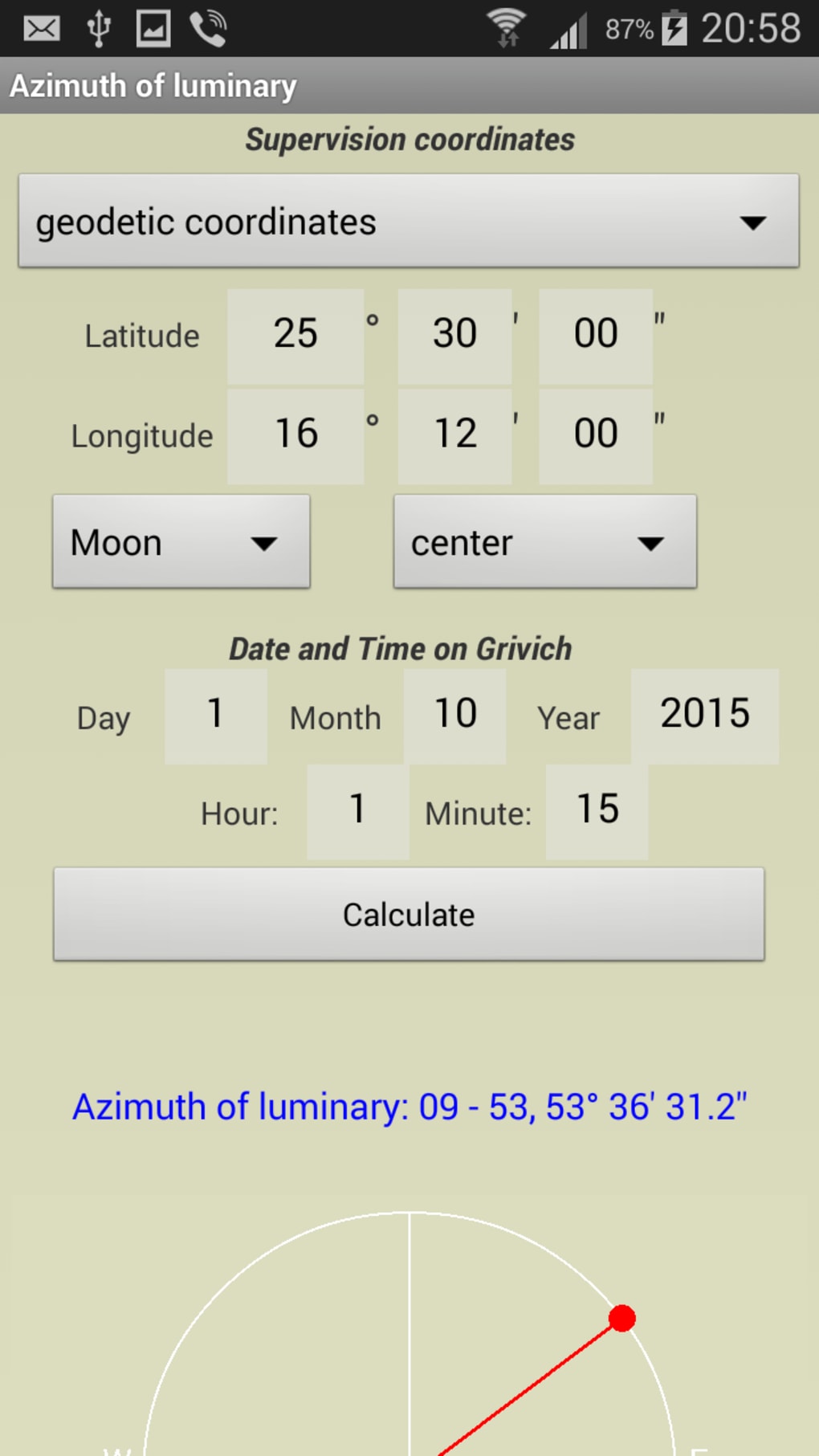
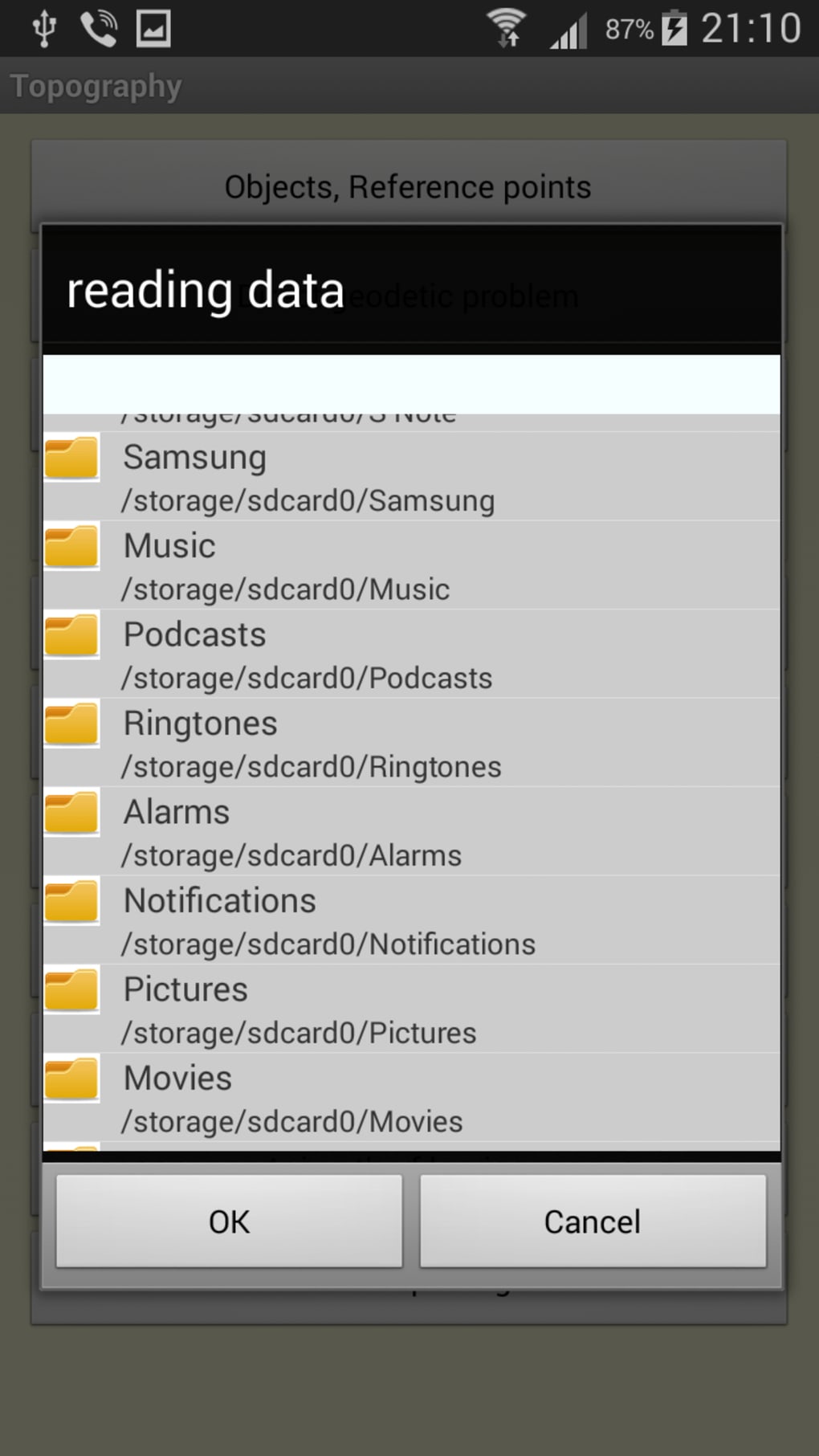
The Field Topography UTM app has a built-in database of hundreds of geodetic objects. This database is useful for a variety of purposes. You can use the objects in the database to make your maps more precise and to calculate distances. You can use them to measure heights, distances, areas, and volumes.
Version
2.9.2
License
Paid
Platform
Android
OS
Android 9.0
Language
English
Downloads
8
Developer
NordSoft